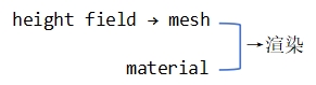
Heightfield
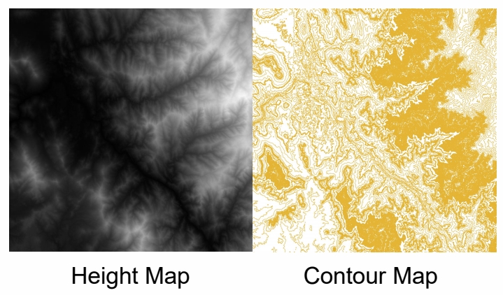
Render Terrain with Heightfield
朴素方法
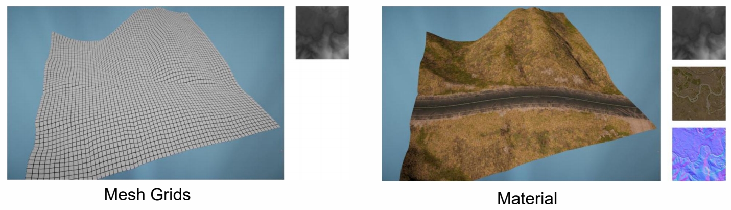
存在的问题:数据量巨大
Adaptive Mesh Tessellation - Level Of Detail
与角色 LOD 不同的是,地形是连续的。
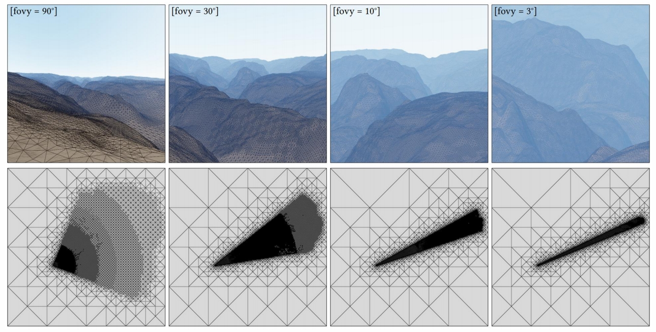
因此在同一个地形里同时存在不同的LOD。
Golden Rules of LOD
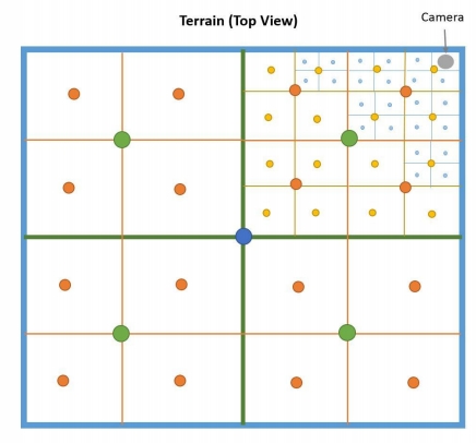
(1) 近处密集,远处稀疏
(2) FOV 小密集,FOV 大稀疏
(3) 地型起伏大(有明显误差)密集,起伏小稀疏
Mesh Subdivision
Triangle-Based and T-Junctions
Continuously partitioning triangles and their
children based on the idea of binary trees
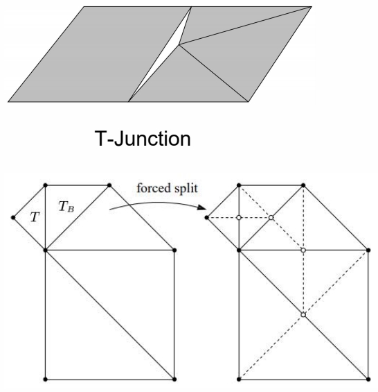
T-Junction:一条边的两边切分不一致导致的 BuG。
解决方法:强制稀疏侧向密集侧对齐
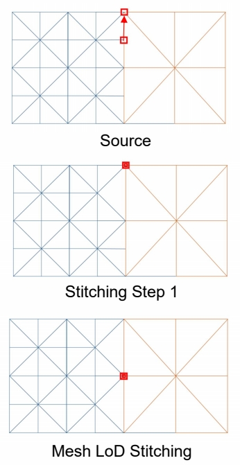
QuadTree-Based Subdivision
三角形不符合构建地形的直觉,更常用是四边形。
Pros
- Easy to construct
- Easy management of data under geospatial, including objects culling and data streaming
Cons
- Mesh subdivision is not as flexible as triangle mesh
- The grid level of the leaf nodes needs to be consistent
也会有 T-Junctions 问题。解决方法:吸附。
吸附不改变数据结构,实现更容易。
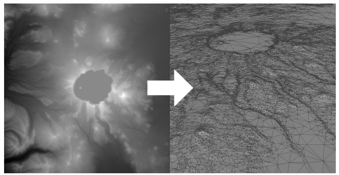
Triangulated Irregular Network (TIN)
把 height field 转化为不规则三角形。
Pros
- 与地形特征更匹配(顶点的位置),Easy in runtime rendeirng
- Less triangls in certain terrain types
Cons
- Requires certain pre-processing steps
- Poor reusability
但实际上不常用。
本文出自CaterpillarStudyGroup,转载请注明出处。
https://caterpillarstudygroup.github.io/GAMES101_mdbook/